
Gahhhh I’m terribly behind on posting here! I have some good material in the works regarding interpolation in SAGA, soil map downloads, and box plots, but today you’ll have to settle for a quick geology fact.
On Friday we planted a variety trial location in Galesville, WI. This site sits in a valley surround by what I was calling hills, but I was promptly corrected. These aren’t hills, they’re bluffs. What are bluffs? National Geographic says bluffs are “broad, rounded cliffs.” This differs from a hill, which is just “a piece of land that rises higher than everything surrounding it.
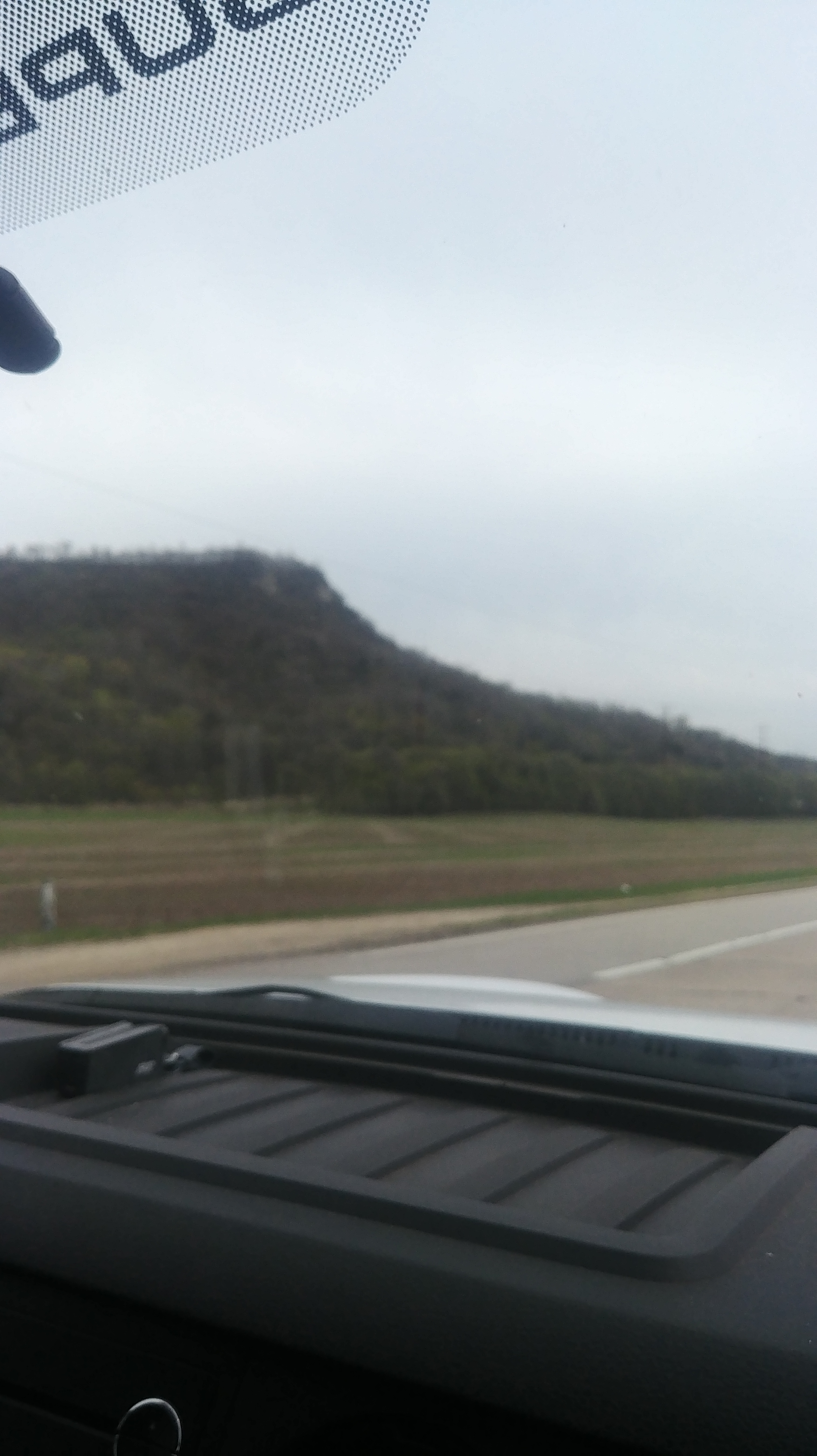
From my limited NatGeo reading, it seems like bluffs are formed when rivers erode their banks, causing higher parts of the bank to fall down and form a cliff. Hills are frequently formed by depositing of sediments eroded from elsewhere.
Galesville is near the Mississippi River, so these bluffs probably formed from their tributeries. I’ll keep you updated as I learn more about the geologic history of my new home state, but in the meantime enjoy this bluff photo taken while driving home from field work!
