
I know I’ve been super behind on updating my QGIS software. I stuck to 2.18.19 for the last couple years because I don’t like changing versions mid-project, but it’s beyond time now. A stable release of QGIS 3 has been available since 2018, and I moved to version 3.8 a few weeks ago.
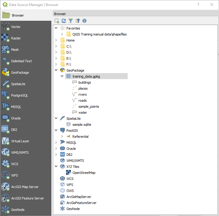
The difference between versions is usually small enough to go mostly unnoticed for basic functions. This time, right away I realized that opening data layers is different. Instead of having different buttons for vector and raster data, there is one data source manager (see pic to left and learn more here)
Other noticeable differences to me is that layers load faster in QGIS 3 than they did in 2.18. I work with yield maps frequently, and the point layers would sometimes take a while to render when I panned across the study area or changed style properties. Now it seems almost instantaneous, even without me upgrading my hardware.
I haven’t had a chance to play with it yet, but the most hyped feature of QGIS 3 is the 3D landscape simulation. This article from Medium user Pointscene has a great overview of these features with gorgeous examples (one is linked below). I plan to incorporate these visualizations into my future terrain analysis work, partially because they’re so beautiful and partially because they are more intuitive for many viewers.

In my excitement over upgrading software, I looked to some other blogs for their reviews. I’m really looking forward to the better labeling features mentioned by GISGeography. If you’re also a GIS user, let’s try out the collaboration and track changes features! You can reproject during geoprocessing, making my previous troubleshooting post obsolete!
And here’s the best news about QGIS 3: it’s still free. These upgrades keep its functionality in line with commercial GIS options, all without the high price.
Feel free to post your questions below in the comments, and I’ll work on addressing them as I get more comfortable with QGIS 3. It’s an exciting time to work in GIS!
